Data Release
Beach slopes of Florida: Miami to Jupiter
By Jacquelyn R. Overbeck and Kara S. Doran
USGS, St. Petersburg, Florida
Summary
The National Assessment of Coastal Change Hazards project derives features of beach morphology from lidar elevation data for the purpose of understanding and predicting storm impacts to our nation's coastlines. This dataset defines mean beach slopes along the United States Southeast Atlantic Ocean from Miami to Jupiter, Florida for data collected at various times between 1999 and 2009. For further information regarding data collection and/or processing methods refer to USGS Open-File Report 2015–1053 (https://pubs.usgs.gov/of/2015/1053/).
Data
| File Name and Description | Metadata (XML format) | Metadata (text format) | Download |
|---|---|---|---|
| SFL_Raw_slopes Raw, non-interpolated endpoint slope data between the location of the Mean High Water and seaward-most dune toe elevations |
SFL_Raw_Slopes_metadata.xml |
SFL_Raw_Slopes_metadata.txt |
SFL_Raw_slopes.txt (568 KB) |
| SFL_Mean_slopes Mean slope data between the endpoint locations of the Mean High Water and seaward-most dune toe elevations, interpolated to a 200 m alongshore resolution using a 400 m wide Hanning window |
SFL_Mean_Slopes_metadata.xml |
SFL_Mean_Slopes_metadata.txt |
SFL_Mean_slopes.txt (35 KB) |
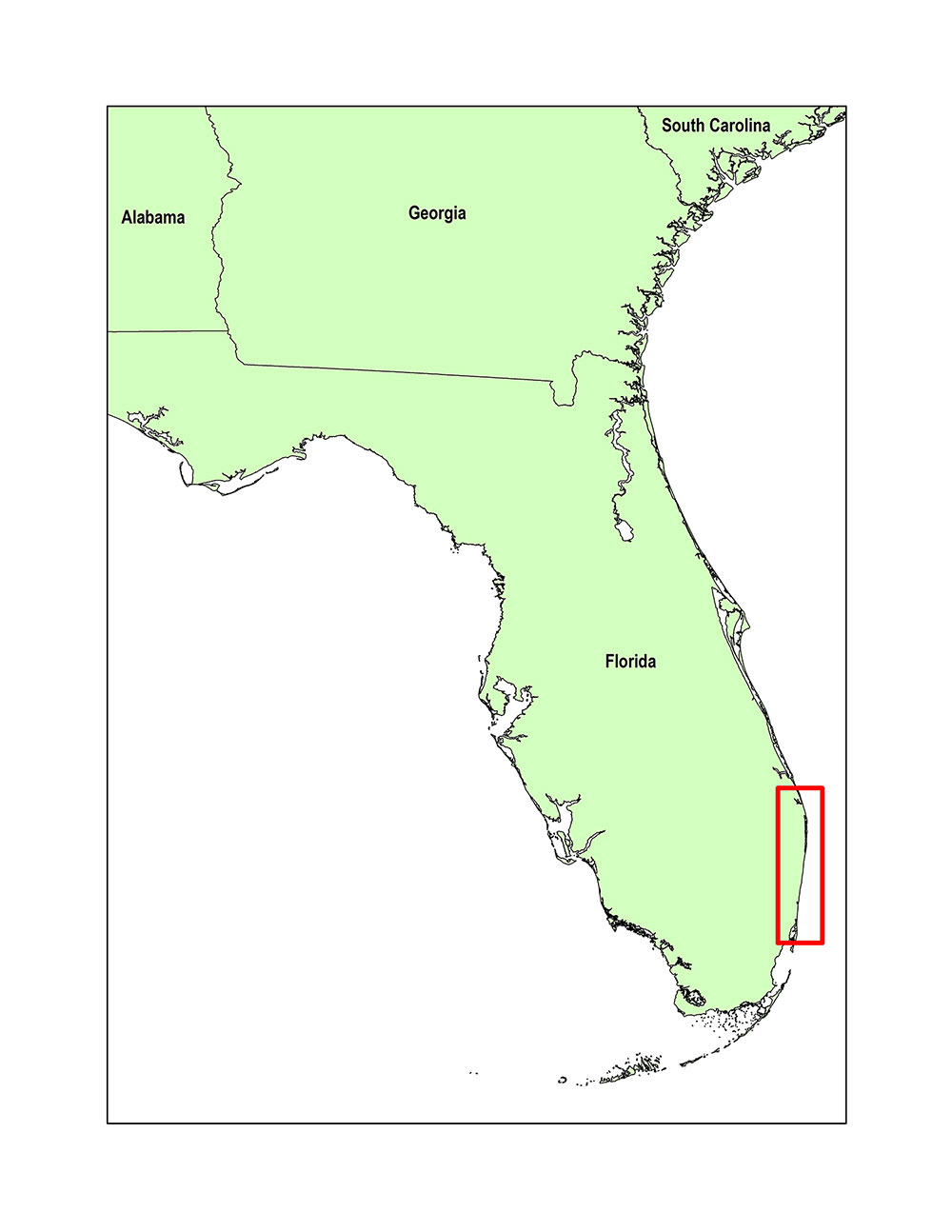
Figure 1. Data location map.
Suggested Citation
Overbeck, J.R., and Doran, K.S., 2015, Beach slopes of Florida: Miami to Jupiter: U.S. Geological Survey data release, https://doi.org/10.5066/F72805P1.