In accordance with SO #3423 - The Gulf of America and SO #3424 - Mount McKinley and Landmarks Honoring the Alaskan People, new USGS data releases specific to those named places will utilize the new name Gulf of America and the restored name Mount McKinley. Per USGS practice, historical data will retain the name of the geographic features as they were known at the time the data were originally released.
Data Release
Cape Canaveral, Florida 2010 Single-beam Bathymetry Data
By David M. Thompson, Nathaniel G. Plant, Mark E. Hansen, Kara S. Doran, Nancy T. DeWitt, and Heather A. Schreppel
USGS, St. Petersburg, Florida
Summary
Single-beam bathymetric surveys were conducted on July 27–29, 2010 along 37 cross-shore transects offshore from Cape Canaveral, Fla. The transects were spaced 500 m apart in the alongshore direction and each was approximately 5 km long in the cross-shore.
Data
| File Name and Description | Metadata (xml format) | Metadata (text format) | Download |
|---|---|---|---|
| canaveral_single_beam_2010.zip Single-beam bathymetric surveys were conducted on July 27–29, 2010 along 37 cross-shore transects offshore from Cape Canaveral, Fla. (.txt) |
canaveral_2010_metadata.xml |
canaveral_2010_metadata.txt |
canaveral_single_beam_2010.zip (5 MB) |
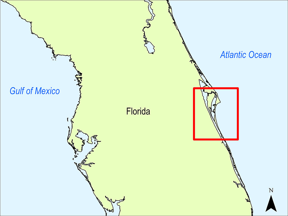
Figure 1. Location map.
Suggested Citation
Thompson, D.M., Plant, N.G., Hansen, M.E., Doran, K.S., DeWitt, N.T., Schreppel, H.A., 2015, Cape Canaveral, Florida 2010 Single-beam Bathymetry Data: U.S. Geological Survey data release, https://doi.org/10.5066/F75Q4T4N.