Data Release
USGS Field Activities 13BHM01 and 13BHM02 on the West Florida Shelf, Gulf of Mexico, July and August 2013
By Lisa L. Robbins,1 Paul O. Knorr,1 Kendra L. Daly,2 and Kira E. Barrera1
1Formerly U.S. Geological Survey, St. Petersburg, FL 337012University of South Florida, College of Marine Science, St. Petersburg, FL 33701
Summary
The United States Geological Survey (USGS) is studying the effects of climate change on ocean acidification within the Gulf of Mexico; dealing specifically with the effect of ocean acidification on marine organisms and habitats. To investigate this, the USGS participated in cruises on the West Florida Shelf and northern Gulf of Mexico regions aboard the research vessel (R/V) Weatherbird II or Bellows, ships of opportunity led by Dr. Kendra Daly, of the University of South Florida (USF) in July and August, 2013. Cruises left from and returned to Saint Petersburg, Florida, but followed different routes. The USGS collected geochemical data pertaining to pH, dissolved inorganic carbon (DIC), total carbon dioxide (TCO2), and total alkalinity (TA) in discrete samples at various depths from predetermined stations. Discrete surface samples were also taken, while in transit, during both cruises.
Data
| File Name and Description | Metadata (XML format) | Metadata (text format) | Download File |
|---|---|---|---|
| 2013_July_Samples_Station.zip Seawater samples of the water column collected at specific sample sites (.xlsx, .csv) |
2013_Samples_Station.xml | 2013_Samples_Station.txt | 2013_July_Samples_Station.zip (24 KB) |
| 2013_July_Samples_Surface.zip Seawater surface samples collected in transit (.xlsx, .csv) |
2013_Samples_Surface.xml | 2013_Samples_Surface.txt | 2013_July_Samples_Surface.zip (22 KB) |
| 2013_July_Navigation.zip Navigational data collected by the research vessel (.xlsx, .csv) |
2013_Navigation.xml | 2013_Navigation.txt | 2013_July_Navigation.zip (393 KB) |
| 2013_August_Samples_Station.zip Seawater samples of the water column collected at specific sample sites (.xlsx, .csv) |
2013_Samples_Station.xml | 2013_Samples_Station.txt | 2013_August_Samples_Station.zip (33 KB) |
| 2013_August_Samples_Surface.zip Seawater surface samples collected in transit (.xlsx, .csv) |
2013_Samples_Surface.xml | 2013_Samples_Surface.txt | 2013_August_Samples_Surface.zip (30 KB) |
| 2013_August_Sonde.zip Temperature, conductivity, salinity and pH data (.xlsx, .csv) |
2013_Sonde.xml | 2013_Sonde.txt | 2013_August_Sonde.zip (156 KB) |
| 2013_August_Navigation.zip Navigational data collected by the research vessel (.xlsx, .csv) | 2013_Navigation.xml | 2013_Navigation.txt | 2013_August_Navigation.zip (4.9 MB) |
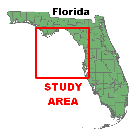
Figure 1. Location map showing the West Florida Shelf in the Gulf of Mexico.
Suggested Citation
Robbins, L.L., Knorr, P.O., Daly, K.L., and Barrera, K.E., 2019, USGS Field Activities 13BHM01 and 13BHM02 on the West Florida Shelf, Gulf of Mexico, July and August 2013: U.S. Geological Survey data release, https://doi.org/10.5066/F7RB72R7.