In accordance with SO #3423 - The Gulf of America and SO #3424 - Mount McKinley and Landmarks Honoring the Alaskan People, new USGS data releases specific to those named places will utilize the new name Gulf of America and the restored name Mount McKinley. Per USGS practice, historical data will retain the name of the geographic features as they were known at the time the data were originally released.
Data Release
DRASTIC and Attenuation Factor Model Results for Upper Floridan Aquifer Vulnerability to Bromacil and Ethylene Dibromide
By Steven H. Douglas1
1Cherokee Nation Technologies
Summary
Attenuation Factor (AF; Rao and others, 1985) and DRASTIC (Aller and others, 1987) models were developed for the Upper Floridan aquifer within the Southwest Florida Water Management District (SWFWMD) boundaries. The models were compared to assess the ability of each of these models to indicate the vulnerability of groundwater resources to contamination by Ethylene Dibromide and Bromacil pesticides. Concentration of Ethylene Dibromide and Bromacil pesticides used in the model were from state and federal groundwater quality sample databases. This data release includes the raster GeoTiff output files for the models created in ArcGIS.
Aller, L., Bennett, T., Lehr, J. H., Petty, R., and Hackett, G., 1987, DRASTIC—a standardized system to evaluate groundwater pollution potential using hydrogeologic settings: National Water Well Association, Worthington, Ohio, United States of America, https://rdn.bc.ca/cms/wpattachments/wpID3175atID5999.pdf.
Rao, P. S. C., Hornsby, A. G., and Jesup, R. E., 1985, Indices for ranking the potential for pesticide contamination of groundwater: Proceedings of the Soil and Crop Science Society of Florida, v. 44, p. 1–8.
Data
| File Name and Description | Metadata (XML format) | Metadata (text format) | Download File |
|---|---|---|---|
| AF_model.zip This dataset includes Attenuation Factor model results for Upper Floridan aquifer vulnerability to Bromacil and 1,2-Dibromoethane or ethylene dibromide (EDB) (.tif) |
AF_metadata.xml | AF_metadata.txt | AF_model.zip (16.84 MB) |
| DRASTIC_model.zip This dataset includes model results for Upper Floridan aquifer vulnerability to contamination (.tif) |
DRASTIC_metadata.xml | DRASTIC_metadata.txt | DRASTIC_model.zip (15.73 MB) |
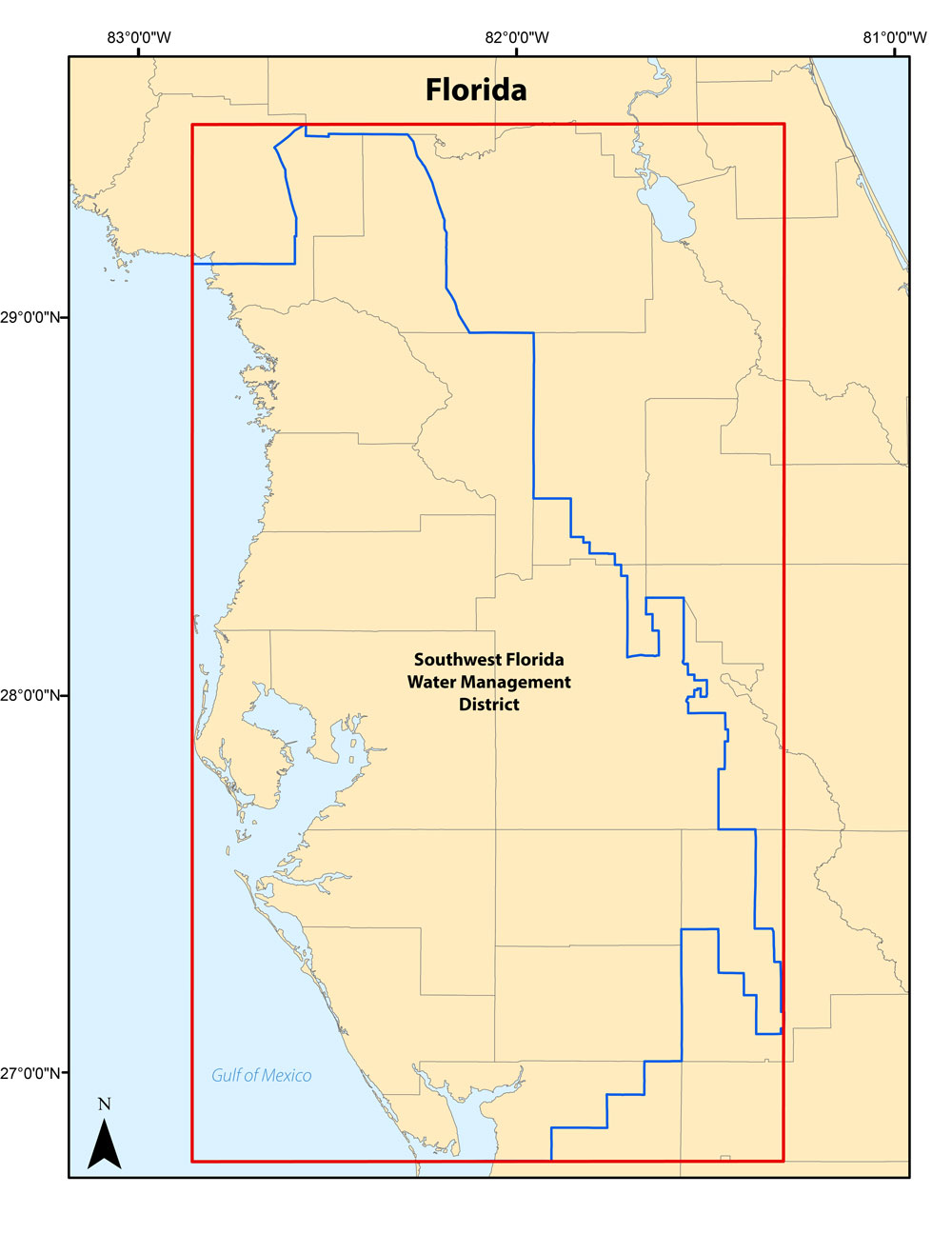
Figure 1. area extent map for models created within the Southwest Florida Water Management District boundaries.
Suggested Citation
Douglas, S.H., 2017, DRASTIC and Attenuation Factor model results for Upper Floridan aquifer vulnerability to Bromacil and ethylene dibromide: U.S. Geological Survey data release, https://doi.org/10.5066/F7S46QTV.