In accordance with SO #3423 - The Gulf of America and SO #3424 - Mount McKinley and Landmarks Honoring the Alaskan People, new USGS data releases specific to those named places will utilize the new name Gulf of America and the restored name Mount McKinley. Per USGS practice, historical data will retain the name of the geographic features as they were known at the time the data were originally released.
Data Release
Looe Key, Florida, 1938–2004 Seafloor Elevation Stability Models, Maps, and Tables
By Kelly A. Murphy1 and Kimberly K. Yates 2
1 Student Contractor contracted to the U.S. Geological Survey
2 U.S. Geological Survey
Summary
The U.S. Geological Survey (USGS) St. Petersburg Coastal and Marine Science Center (SPCMSC) conducted research to identify areas of seafloor elevation stability and instability based on elevation changes between the years of 1938 and 2004 at Looe Key coral reef near Big Pine Key, Florida, within a 19.06 square-kilometer area. USGS SPCMSC staff used seafloor elevation-change data from Yates and others (2017a) derived from an elevation-change analysis between two elevation datasets acquired in 1938 and 2004 using the methods of Yates and others (2017b). A seafloor stability threshold was determined for the 1938-2004 Looe Key elevation-change dataset based on the vertical uncertainty of the 1938 historical hydrographic survey and 2004 digital elevation model (DEM). Five stability categories (which include, Stable: 0.0 meters (m) to ±0.24 m or 0.0 m to ±0.49 m; Moderately stable: ±0.25 m to ±0.49 m; Moderately unstable: ±0.50 m to ±0.74 m; Mostly unstable: ±0.75 m to ±0.99 m; and Unstable: ±1.00 m to Max/Min elevation change) were created and used to define levels of stability and instability for each elevation-change value (1,687 data points) based on the amount of erosion and accretion during the 1938 to 2004 time period. Seafloor-stability point and triangulated irregular network (TIN) surface models were created at five different elevation-change data resolutions (1st order through 5th order) with each resolution becoming increasingly more detailed. The stability models were used to determine the level of seafloor stability at potential areas of interest for coral restoration and ten habitat types found at Looe Key. Stability surface (TIN) models were used for areas defined by specific XY geographic points, while stability point models were used for areas defined by bounding box coordinate locations.
This data release includes ArcGIS map packages containing the binned and color-coded stability point and surface (TIN) models, potential coral restoration locations, and habitat files; maps of each stability model; and data tables containing stability and elevation-change data for the potential coral restoration locations and habitat types. Data were collected under Florida Keys National Marine Sanctuary permit FKNMS-2016-068. Coral restoration locations were provided by Mote Marine Laboratory under Special Activity License SAL-18-1724-SCRP.
Yates, K.K., Zawada, D.G., Smiley, N.A., Tiling-Range, G., and Resnick, J.P., 2017a, Seafloor elevation change in Maui, St. Croix, St. Thomas, and the Florida Keys: U.S. Geological Survey data release, https://doi.org/10.5066/F7WQ01W0.
Yates, K.K., Zawada, D.G., Smiley, N.A., and Tiling-Range, G., 2017b, Divergence of seafloor elevation and sea level rise in coral reef ecosystems: Biogeosciences, v. 14, p. 1739–1772, https://doi.org/10.5194/bg-14-1739-2017.
Data
| File Name and Description | Metadata (XML format) | Metadata (text format) | Download File |
|---|---|---|---|
| 1938_2004_LooeKey_MapPackages_ 5Resolutions.zip ArcGIS map packages containing the potential coral restoration locations, habitat files, and the binned and color coded stability point and surface (TIN) models for each model resolution (.mpk, .shp, .adf, .lyr) |
1938_2004_LooeKey_ stability_metadata.xml |
1938_2004_LooeKey_ stability_metadata.txt |
1938_2004_LooeKey_MapPackages_ 5Resolutions.zip (21.3 MB) |
| 1938_2004_LooeKey_Maps_Point_ 5Resolutions.zip Stability point model maps for each model resolution based on elevation-change point locations (.jpg) |
Same as above | Same as above | 1938_2004_LooeKey_Maps_Point_ 5Resolutions.zip (3.5 MB) |
| 1938_2004_LooeKey_Maps_TIN_ 5Resolutions.zip Stability surface model maps for each model resolution based on TIN interpolation of elevation-change point locations (.jpg) |
Same as above | Same as above | 1938_2004_LooeKey_Maps_TIN_ 5Resolutions.zip (3.6 MB) |
| 1938_2004_LooeKey_Tables_ 5Resolutions.zip Tables containing elevation-change information for the potential coral restoration locations and habitat types, extracted from the stability point and surface (TIN) models for each model resolution (.jpg, .xlsx, and .csv) |
Same as above | Same as above | 1938_2004_LooeKey_Tables_ 5Resolutions.zip (1.5 MB) |
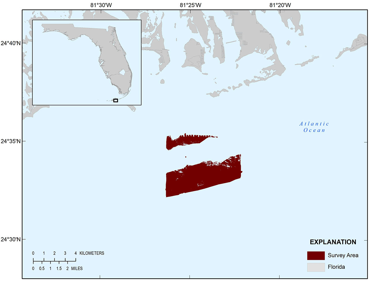
Figure 1. Spatial extent of the 1938-2004 Looe Key stability dataset.
Suggested Citation
Murphy, K.A. and Yates, K.K., 2021, Looe Key, Florida, 1938–2004 seafloor elevation stability models, maps, and tables: U.S. Geological Survey data release, https://doi.org/10.5066/P9SM17KR.