In accordance with SO #3423 - The Gulf of America and SO #3424 - Mount McKinley and Landmarks Honoring the Alaskan People, new USGS data releases specific to those named places will utilize the new name Gulf of America and the restored name Mount McKinley. Per USGS practice, historical data will retain the name of the geographic features as they were known at the time the data were originally released.
Data Release
Single-Beam Bathymetry Data Collected in 2015 from Grand Bay, Mississippi/Alabama
By Nancy T. DeWitt,1 Chelsea A. Stalk,2 Christopher G. Smith,1 Stanley D Locker,1 Jake J. Fredericks,1 Terrence A. McCloskey,1 and Cathryn J. Wheaton2
1 U.S. Geological Survey
2 Cherokee Nation Technologies
Summary
This data release archives processed single-beam bathymetry (SBB) data, collected from May 28-June 3, 2015 (USGS Field Activity Number 2015-315-FA) within Grand Bay Mississippi/Alabama, as part of the Sea level and Storm Impacts on Estuarine Environments and Shorelines project (SSIEES). The goal of the SSIEES project is to assess the physical controls of sediment and material exchange between wetland and estuarine environments. The data described in this report provide baseline bathymetric information for future research investigating wetland/marsh evolution, sediment transport, and recent and long term geomorphic change. The data will also support modeling of future changes in response to restoration and storm impacts. The survey area encompasses more than 40 square kilometers (km2) of Grand Bay's incorporated waters with more than 600 line-km of single-beam bathymetry data collected aboard two survey platforms: the RV Shark (Sub-cruise identifier 15CCT04) and the RV Chum (15CCT05). Final data files presented in this report are released in WGS84 (ITRF00) Ellipsoid Height (values range from -33.36 meters (m) to -29.53 m); NAD83 (CORS 96), NAVD88 orthometric heights, derived from the GEOID12A geoid model (values range from -3.95 m to -0.01 m); and NAD83 (CORS 96) Mean Lower Low Water (MLLW) (values range from -3.83 m to 0.11 m). Geographic Information System (GIS) data products include: a 10 m and 30 m cell-size interpolated bathymetry grids, trackline maps, point data files and formal Federal Geographic Data Committee (FGDC) metadata. For further information regarding data collection and/or processing methods refer to USGS Data Series 1070 (https://doi.org/10.3133/ds1070).
Note: This data release was versioned on April 5, 2018. Please see the Suggested Citation section for details.
Data
| File Name and Description | Metadata (XML format) | Metadata (text format) | Download File |
|---|---|---|---|
| Grand_Bay_2015_NAD83_MLLW_10m_DEM.zip Bathymetry DEM, 10-m cell size (.tif) |
Grand_Bay_2015_10m_ DEM_metadata.xml |
Grand_Bay_2015_10m_ DEM_metadata.txt |
Grand_Bay_2015_NAD83_ MLLW_10m_DEM.zip (1.7 MB) |
| Grand_Bay_2015_NAD83_MLLW_30m_DEM.zip Bathymetry DEM, 30-m cell size (.tif) |
Grand_Bay_2015_30m_ DEM_metadata.xml |
Grand_Bay_2015_30m_ DEM_metadata.txt |
Grand_Bay_2015_NAD83_ MLLW_30m_DEM.zip (216 KB) |
| 2015-315-FA_SBB_XYZ.zip Single-beam soundings, includes Grand_Bay_2015_SBB_ITRF00.txt, Grand_Bay_2015_SBB_NAD83_MLLW.txt, and Grand_Bay_2015_SBB_NAD83_NAVD88_GEOID12A.txt |
2015-315-FA_SBB_ xyz_metadata.xml |
2015-315-FA_SBB_ xyz_metadata.txt |
2015-315-FA_SBB_xyz.zip (153 MB) |
| Grand_Bay_2015_SBB_tracklines.zip Single-beam tracklines (.shp) |
Grand_Bay_2015_SBB_tracklines_ metadata.xml |
Grand_Bay_2015_SBB_tracklines_ metadata.txt |
Grand_Bay_2015_SBB_tracklines.zip (32 MB) |
| Supplemental information | |||
| 15CCT04_FACS.zip Field Activity Collection System (FACS) logs (.pdf) for USGS Field Activity Number 15CCT04. Includes equipment and operation logs (.pdf) |
Not applicable | Not applicable | 15CCT04_FACS.zip (13 KB) |
| 15CCT05_FACS.zip Field Activity Collection System (FACS) logs (.pdf) for USGS Field Activity Number 15CCT05. Includes equipment and operation logs (.pdf) |
Not applicable | Not applicable | 15CCT05_FACS.zip (13 KB) |
| 2015-315-FA-FACS.zip Field Activity Collection System (FACS) logs (.pdf) for USGS Field Activity Number 2015-315-FA. Includes overview and crew logs (.pdf) |
Not applicable | Not applicable | 2015-315-FA-FACS.zip (26 KB) |
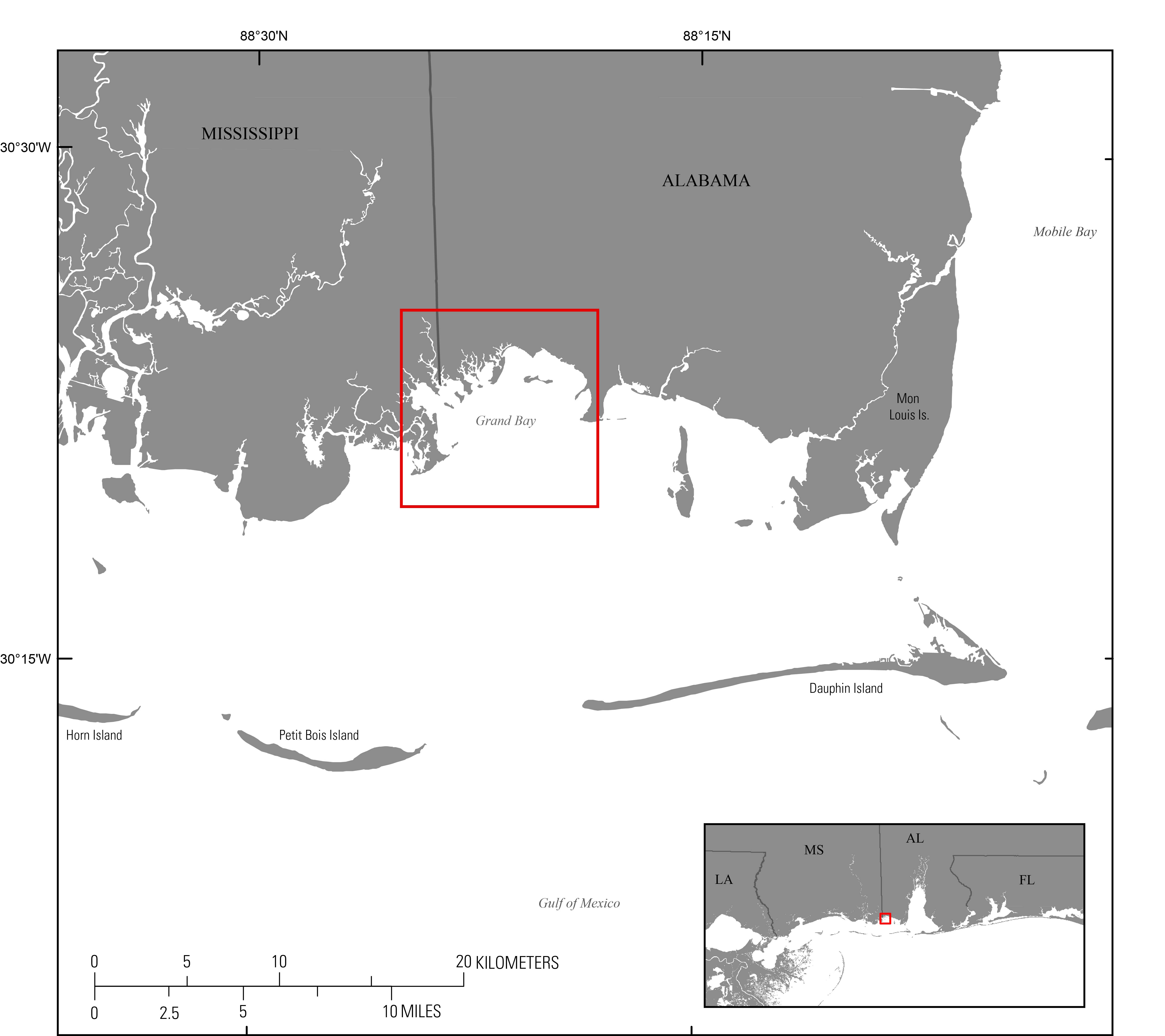
Figure 1. Regional map showing study area of the 2015 single-beam bathymetry survey within Grand Bay Mississippi/Alabama. Study-area extent is indicated by the red box. Base map modified from USGS 1:100,000-scale Digital Line Graph (DLG) data.
Suggested Citation
DeWitt, N.T., Stalk, C.A., Smith, C.G., Locker, S.D., Fredericks, J.J., McCloskey, T.A., and Wheaton, C.J., 2016, Single Beam Bathymetry Data Collected in 2015 from Grand Bay, Mississippi/Alabama (ver.2.0, April 2018): U.S. Geological Survey Data Release, https://doi.org/10.5066/F7NP22M2.
First posted November 29, 2016
Revised April 5, 2018