In accordance with SO #3423 - The Gulf of America and SO #3424 - Mount McKinley and Landmarks Honoring the Alaskan People, new USGS data releases specific to those named places will utilize the new name Gulf of America and the restored name Mount McKinley. Per USGS practice, historical data will retain the name of the geographic features as they were known at the time the data were originally released.
Data Release
Florida Keys Corals: A Photographic Record of Changes from 1959 to 2015
By Eugene A. Shinn1 and Ilsa B. Kuffner2
1University of South Florida
2U.S. Geological Survey, St. Petersburg Coastal and Marine Science Center, St. Petersburg, Florida
Summary
This data release contains time-series photographs taken of corals and coral habitats in the Florida Keys between 1959 and 2015 at Carysfort Reef and Grecian Rocks (a total of six sites). The original intent was to show coral reef recovery after Hurricane Donna devastated the area in 1960. Corals, especially elkhorn and staghorn coral, grew prolifically after the storm until the late 1970s, then began to decline, with the maximum period of decline centered around 1983 and 1984. These time-series photographs, showing the same individual coral colonies year after year, document the decline in coral health observed at these locations, mirroring patterns seen region-wide across the western Atlantic. A selection of the photographs was previously published (in low resolution) in Lidz and others (2006), wherein findings and conclusions related to these data were discussed.
Lidz, B. H., Reich, C. D., Peterson, R. L., and Shinn, E. A., 2006, New maps, new information—Coral reefs of the Florida Keys: Journal of Coastal Research, v. 2006, no. 222, p.260–282. https://pubs.er.usgs.gov/publication/70030542.
Data
| File Name and Description | Metadata (XML format) | Metadata (text format) | Download File |
|---|---|---|---|
| FL_corals-photo-record.zip Time-series photographs of corals 1959–2015 |
FL_corals-photo-record_metadata.xml | FL_corals-photo-record_metadata.txt | FL_corals-photo-record.zip (3.4 GB) |
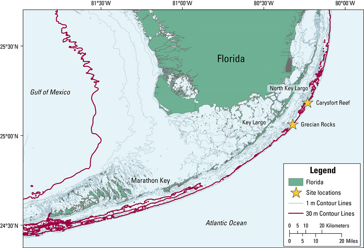
Figure 1. Locations of the Carysfort Reef and Grecian Rocks sites in the Florida Keys.
Suggested Citation
Shinn, E.A., and I. B. Kuffner, 2017, Florida Keys Corals—A photographic record of changes from 1959 to 2015: U.S. Geological Survey data release, https://doi.org/10.5066/F7S46QWR.